
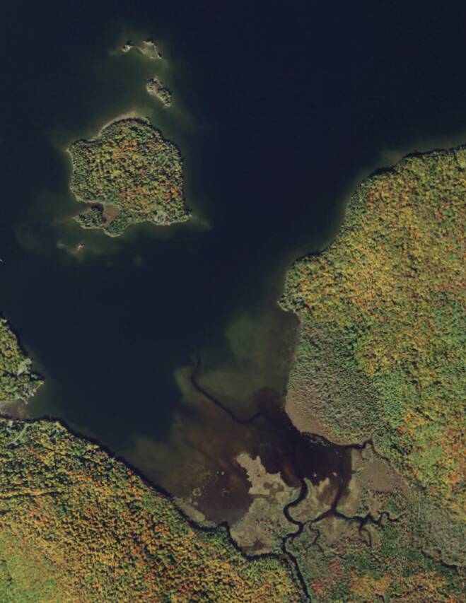
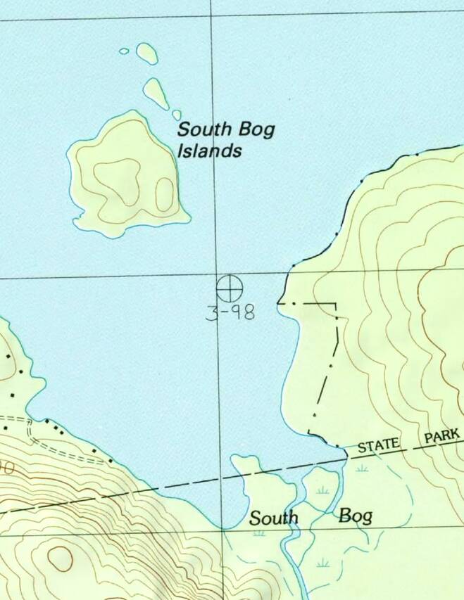
The app makes hybrid-mode maps by combining topos with imagery, pixel-by-pixel,
as you view them. You can adjust exactly how it does this blending in the
Map Appearance section of Settings.

The details are described below, but it’s probably easiest just to experiment
with the settings and see for yourself how they work. The only thing to be aware of
is that only the Forest Service maps and US Topo maps dated 2024 or later currently
support the Overlay mode; if you select that for other topos, it will use Multiply
mode instead.
If you want to know more, read on...
Details of Blending
Overlay Mode
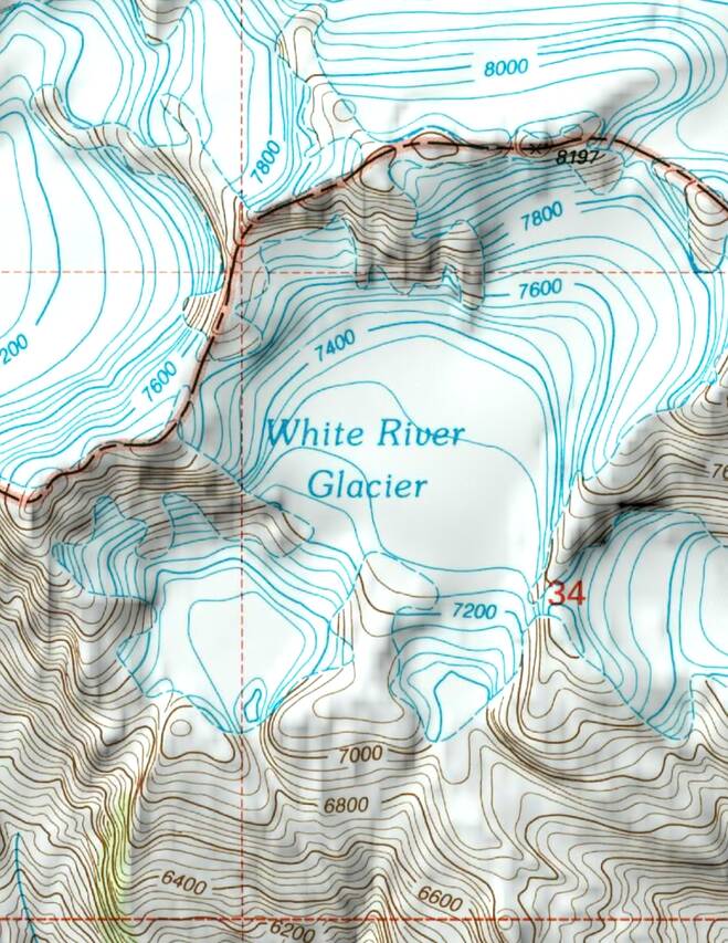
The obvious way to combine topo and imagery is to show the imagery where the topo
is transparent, and the topo where it is opaque. This is what the “Overlay” setting
does:
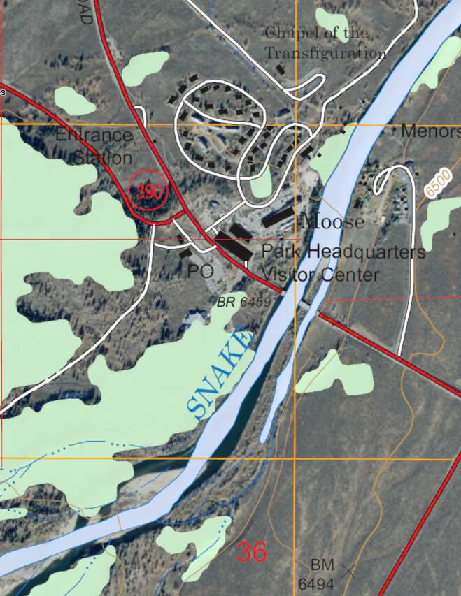
Unfortunately there are a couple of problems with that:
Firstly, most of the topos don’t contain transparency information (an “alpha
channel”, as it is known in computer graphics). Areas that should be transparent
are simply opaque white. For the older maps that are scans of paper maps, this is
an inherent unavoidable feature of the map data. For the newer digitally-produced maps,
in principle we could include transparency information but in practice we have only
done so for the Forest Service maps and for the new batch of US Topo maps released
in February 2025, at present. If you select Overlay mode for topos
that don’t have an alpha channel, the app will use Multiply mode instead.
Secondly, many topos contain large areas of background tints such as light green
for woodland. These tints are opaque so they hide the imagery; you can see this with
the woodland in the example above.
For these reasons we have a couple of alternative blend modes.
Multiply Mode
Multiply blend mode simply multiplies the red, green and blue components of the
topo with the corresponding components of the imagery. (This was the only blend
mode in app versions 2.4 and earlier.)
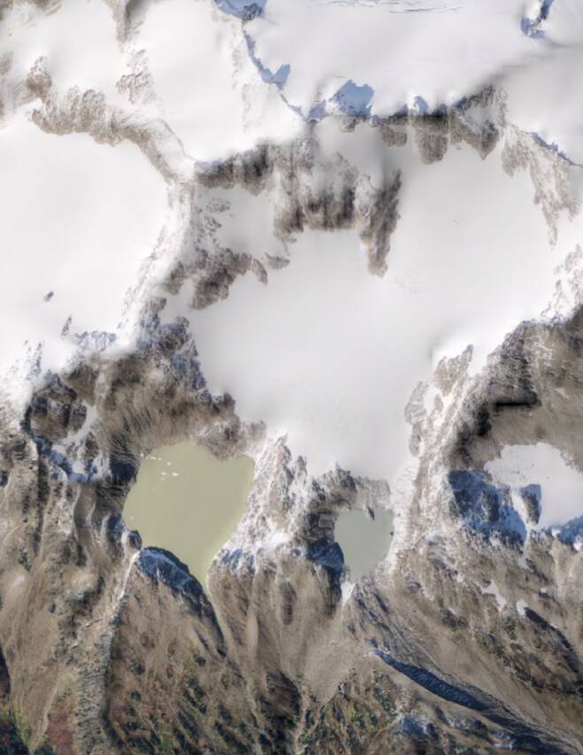
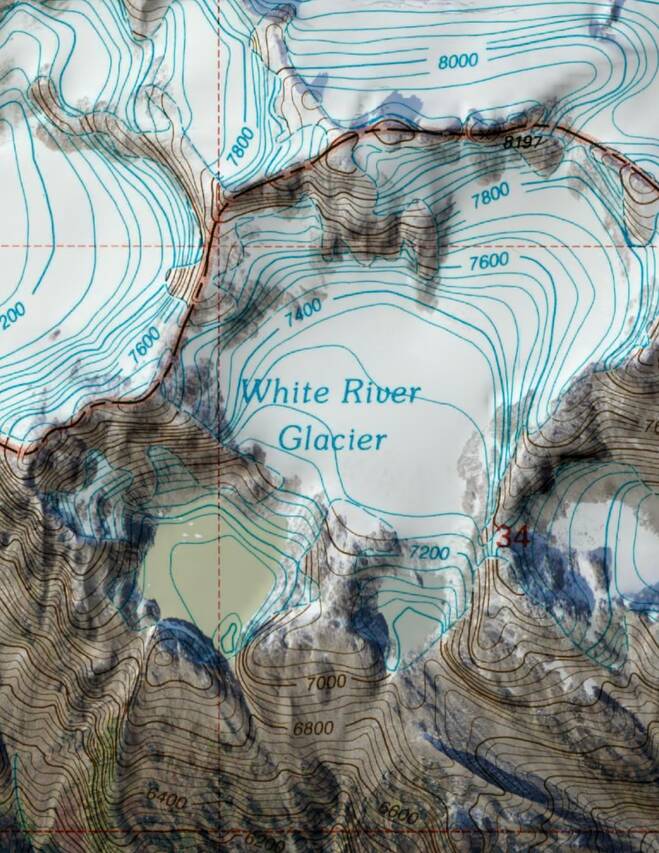
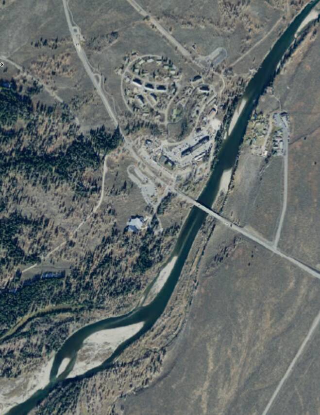
This works best where the imagery is relatively light in color, for example
deserts and snowy mountains. It works less well on dark forest or water.
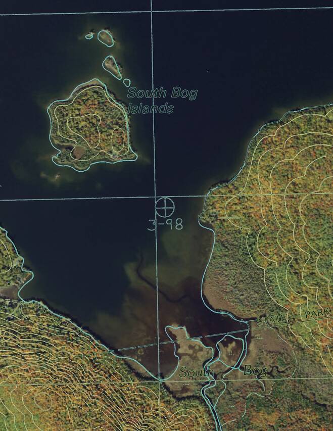
Threshold Mode
Threshold blend mode attempts to separate the topo’s background tints from
foreground features such as text, trails and contour lines. It does this by
assuming that background colors are brighter and less-saturated, and foreground
colors are darker and more-saturated; you can adjust where the transition happens.
The background is then made transparent and the result is blended with the
imagery as in overlay mode.
Demo Animation
The animation below demonstrates the three blend modes. It starts by
showing the overlay mode, in which all of the forest and lake are obscured
by the light green and blue tints in the topo; just a few areas of open ground
are visible. It then shows the multiply mode, in which all of the imagery is
visible but topo details such as contour lines over trees are hard to see
against some backgrounds. Finally it shows the threshold mode and adjusts
the threshold slider. At the rightmost position the topo is opaque and its
green and blue tints obscure the imagery. As the slider is moved to the left,
first these tints are removed but contour lines, text and other topo features
remain visible. As the slider reaches the left end of its range the remaining
topo features disappear.